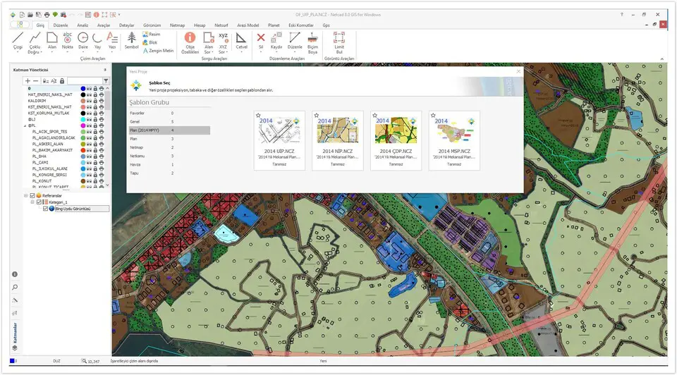
Netcad GIS 8 keyboard shortcuts

Netcad GIS 8  

Zeynel Öztürk -
3 years ago
- Shortcuts
4
*

Redraw screen

4
+

Zoom in

4
-

Zoom out

0
Alt + C

View previous screen

0
Alt + Z

Go to target window

-1
Alt + X

Pan screen

0
Alt + O

Query object

-1
G

Select layer mode

-2
H

Choose ht types

4
F

Choose fonts

2
T

Select layer menu

Advertisement

-2
F4

POINT capture mode

1
F5

END POINT capture mode

2
F6

INTERSECT capture mode

-1
F7

MIDDLE POINT capture mode

0
F8

APPLICATION POINT capture mode

1
F9

GRID mode

1
F11

AXIS VERTICAL mode

1
A

Nearest point capture mode

1
G

Layer modes

4
Space

(during editing) Open filter

1
T

(during editing) Select all objects

0
D

(during editing) Select objects cutting the line

-1
B

(during editing) Select objects in the area

0
Alt + K

Go to coordinate

0
Ctrl + L

Draw line

0
Ctrl + C

Draw polyline

0
Alt + Y

Write featured text

0
Ctrl + N

Toogle point

Note: You can also see these shortcuts over the Ribbon menu by pressing and releasing the Alt key. We have listed some of them here
0
Alt then 1

New file

1
Alt then 2

Open file

0
Alt then 3

Save

0
Alt then 4

Print

0
Alt then 6

Undo

0
Alt then 7

Redo

0
Alt then 9

Info

0
Alt + F

Main menu

0
Alt then Y then 0 then 1

Home tab

1
Alt then Y then 0 then 2

Edit tab

1
Alt then Y then 0 then 3

Analysis tab

1
Alt then Y then 0 then 4

Tools tab

0
Alt then Y then 0 then 5

Details tab

1
Alt then Y then 0 then 6

View tab

0
Alt then Y then 0 then 7

Account tab

-1
Alt then Y then 0 then 8

Planet tab

0
Alt then Y then 0 then 9

Netmap tab

1
Alt then Y then 1 then 0

Public tab

0
Alt then Y then 1 then 1

Netsurf tab

1
Alt then Y then 1 then 2

Cap tab

0
Alt then Y then 1 then 3

NetRS tab

0
Alt then Y then 1 then 4

Netgis Server tab

0
Alt then Y then 1 then 5

Netpro tab

0
Alt + L

Line

Advertisement

0
Alt + C

Multi fill

0
Alt then Y then 0 then 1

Area

0
Alt + N

Dot

0
Alt then Y then 0 then 2

Circle

0
Alt then Y then 0 then 3

Arrow

0
Alt then Y then 0 then 4

Text

0
Alt then Y then 0 then 5

Symbol

0
Alt then Y then 0 then 6

Calculation

1
Alt then Y then 0 then 7

Picture

0
Alt + O

Object properties

0
Alt + A

Ask area

0
Alt then Y then 0 then 8

Ask XYX

1
Alt then Y then 0 then 9

Ruler

0
Alt then Y then 0 then 10

Delete

3
Alt then Y then 0 then 11

Pan

-2
Alt then Y then 0 then 12

Edit

1
Alt then Y then 0 then 13

Format paint

-1
Alt then Z then N

Image tools


Share this page on:
Is this page helpful?
0 0

Program information

Program name: Netcad GIS 8 Netcad GIS 8 (Scientific)

Netcad GIS is a computer-aided design (CAD) and geographic information system (GIS) software used by topographical engineers and city planners. It is developed by Netcad Software.

Web page: netcad.com/tr/urunler/netcad-g...

How easy to press shortcuts: 70%

More information >>

Updated: Updated program information. (3 updates.) 3/2/2021 8:29:10 AM New program added.
3/2/2021 8:31:19 AM Updated program information.
3/2/2021 8:31:43 AM Updated program information.

Shortcut count: 71

Platform detected: Windows or Linux

Similar programs


What is your favorite Netcad GIS 8 hotkey? Do you have any useful tips for it? Let other users know below.


No comments yet. Ask, or type the first one!